
Context
Cape Verde was in the news after a bus accident on Fogo Island claimed at least 25 lives.
Geographical Features
- Location: An Atlantic island country, located about 550–620 km west of Senegal off the West African coast.
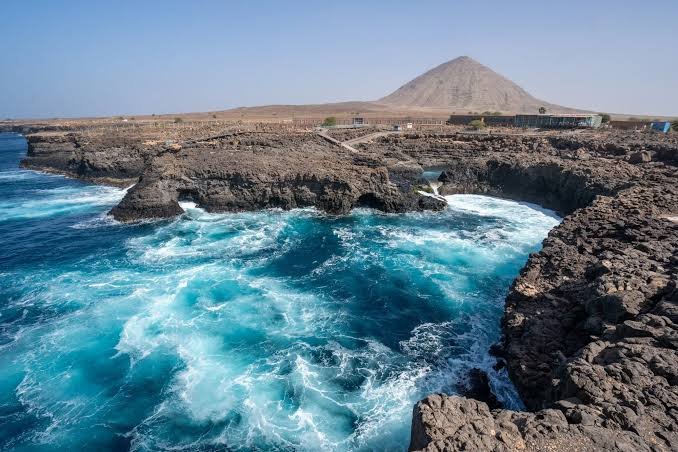
- Islands: Comprises 10 volcanic islands, divided into Barlavento (Windward) and Sotavento (Leeward) groups.
- Area & Climate: Covers about 4,033 sq. km and has a dry, arid climate with limited freshwater.
- Relief: Eastern islands are generally flatter and drier, while western islands are more mountainous and rugged; Fogo has prominent volcanic terrain.
Historical and Political Profile
- Colonial Rule: Colonised by Portugal in the 15th century.
- Independence: Gained independence in 1975.
- Capital: Praia, on Santiago Island.
- Government: A multiparty republic.
Society and Language
- Population: Predominantly of mixed African and European ancestry, with a strong Creole (Crioulo) cultural identity.
- Languages: Portuguese is the official language, while Cape Verdean Creole (Crioulo) is widely spoken.
- Culture: Reflects a blend of West African and Portuguese influences.
FAQs
Q1. Where is Cape Verde located?
Ans. Cape Verde is an island country in the Atlantic Ocean, around 550–620 km west of Senegal in West Africa.
Q2. What is the capital of Cape Verde?
Ans. Praia is the capital and is located on Santiago Island.
Q3. What are the two major island groups of Cape Verde?
Ans. The northern islands form the Barlavento (Windward) group, while the southern islands form the Sotavento (Leeward) group.
Q4. What is the official language of Cape Verde?
Ans. Portuguese is the official language, while Cape Verdean Creole (Crioulo) is widely used.