
Context
Recently, the Bangladesh government sought China’s involvement and support for the Teesta River restoration project.
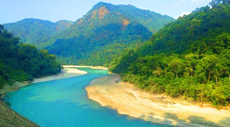
About the Teesta River
- Origin: Tso Lhamo Lake (Chho Lhamo) in North Sikkim, at an elevation of approximately 5,280 metres.
- Nature: A glacier-fed river, supported by sources including the Pahurni and Khangse glaciers.
- River System: A major tributary of the Brahmaputra River, known as the Jamuna in Bangladesh.
- Course: Flows through Sikkim and West Bengal in India before entering Bangladesh, where it joins the Brahmaputra (Jamuna).
Course of the River
- Originates in the high-altitude region of North Sikkim.
- Cuts a deep gorge through the Siwalik Hills east of Darjeeling in West Bengal.
- It turns southeast and passes through the Sivok Khola Pass to enter the plains of West Bengal.
- Enters Bangladesh and joins the Brahmaputra River, known locally as the Jamuna.
Major Tributaries
- Left-bank tributaries: Lachung Chhu, Dik Chhu and Rangpo Chhu.
- Right-bank tributary: Rangit River.
Basin Distribution
- India: Approximately 83% of the Teesta basin lies in India.
- Bangladesh: Approximately 17% lies in Bangladesh.
Frequently Asked Questions (FAQs)
Q1. Where does the Teesta River originate?
The Teesta originates from Tso Lhamo Lake (Chho Lhamo) in North Sikkim, at an elevation of approximately 5,280 metres.
Q2. Which major river system does the Teesta belong to?
The Teesta is a major tributary of the Brahmaputra River, known as the Jamuna in Bangladesh.
Q3. What are the major tributaries of the Teesta River?
Its left-bank tributaries include Lachung Chhu, Dik Chhu and Rangpo Chhu, while the Rangit River is a major right-bank tributary.
Q4. How is the Teesta River basin distributed between India and Bangladesh?
Approximately 83% of the basin lies in India and the remaining 17% lies in Bangladesh.