
Context
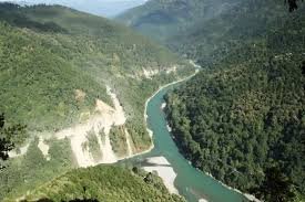
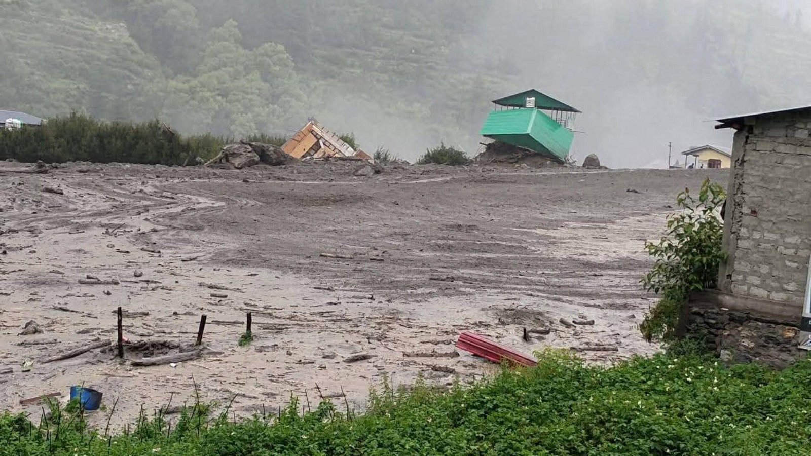
A recent study by IIT Gandhinagar, published in Nature Hazards, has identified India’s major flash flood hotspots and the factors driving their increasing frequency. The study comes amid recent flash flood disasters in Himachal Pradesh (July 2025), Wayanad in Kerala (July 2024), Ladakh (June 2024), and Sikkim (October 2023).
About Flash Floods
- A flash flood is a rapid-onset flood that develops within a few hours of intense rainfall, cloudbursts, dam failures, or Glacial Lake Outburst Floods (GLOFs).
- The India Meteorological Department (IMD) generally considers floods occurring within six hours of the triggering event as flash floods.
- Flash floods are characterised by a rapid rise in water level, high flow velocity, and very limited warning time, making them highly destructive.
- They occur most frequently in mountainous regions, steep river basins, and urban areas with inadequate drainage.
Major Findings of the IIT Gandhinagar Study
- The study, “Drivers of Flash Floods in the Indian Sub-continental River Basins”, assessed flash flood vulnerability using hydrological (water movement) and geomorphological (landform) characteristics.
- It identifies the Himalayan region, the Western Coast, and Central India as India’s major flash flood hotspots.
- Around 75% of flash floods occur due to the combined impact of extreme rainfall and saturated soil, while only 25% result from heavy rainfall alone.
- Only 23% of extreme rainfall events trigger flash floods within six hours, highlighting the importance of antecedent soil moisture (water already present in the soil).
- Flash flood vulnerability varies across river sub-basins depending on terrain, drainage patterns, soil characteristics, and local climatic conditions.
- The study also shows that several previously low-vulnerability river basins are becoming increasingly susceptible to flash floods because of changing rainfall patterns associated with climate change.
Key Drivers of Flash Floods
- Extreme Rainfall: Intense rainfall remains the primary trigger, especially during the monsoon.
- Saturated Soil: Waterlogged soil cannot absorb additional rainfall, leading to rapid surface runoff.
- Steep Topography: The Himalayan region is highly vulnerable because steep slopes accelerate the movement of water.
- High Basin Flashiness: River basins along the Western Coast and Central India respond rapidly to rainfall, resulting in sudden increases in streamflow.
- Regional Characteristics: Differences in elevation, landforms, drainage networks, and climatic conditions influence flash flood risk even within the same river basin.
Climate Change and Flash Flood Risk
- Climate change is increasing both the frequency and intensity of flash floods across India.
- According to the Clausius-Clapeyron principle, the atmosphere can hold nearly 7% more moisture for every 1°C rise in temperature, increasing the likelihood of extreme rainfall.
- Between 1981 and 2020, extreme rainfall during the pre-monsoon season doubled.
- During the same period, extreme precipitation increased by:
- 56% during the monsoon
- 40% during the post-monsoon season
- 12.5% during the winter season
- More than 75% of flash floods recorded between 1980 and 2018 occurred during the monsoon.
- Since 1995, flash flood events have increased significantly in the Brahmaputra, Ganga, and Krishna river basins.
- Climate change is also expanding flash flood risk to previously less vulnerable regions:
- 51% of non-prone sub-basins recorded increased rainfall.
- 66.5% experienced higher streamflow.
Challenges
- Lack of high-resolution flash flood vulnerability maps for river sub-basins.
- Limited real-time hydrological, soil moisture, and river monitoring data for accurate local forecasting.
- Inadequate early warning systems for rapidly developing flash floods.
- Rapid urbanisation, encroachment on floodplains, deforestation, and poor drainage increase flood vulnerability.
- Changing rainfall patterns reduce the reliability of conventional flood-risk assessments.
- Limited climate-resilient infrastructure in vulnerable regions.
Way Forward
- Develop region-specific flash flood management strategies based on topography, hydrology, soil conditions, and local climatic characteristics.
- Strengthen real-time forecasting and early warning systems through improved weather observation and river monitoring networks.
- Regularly identify and monitor emerging flash flood hotspots using scientific risk assessment.
- Promote climate-resilient infrastructure, watershed management, and sustainable land-use planning.
- Implement Integrated River Basin Management (IRBM) through coordinated action among meteorological, hydrological, and disaster management agencies.
- Strengthen community-based disaster preparedness through awareness campaigns, mock drills, and local emergency response mechanisms.
- Integrate climate projections into infrastructure planning and disaster risk reduction strategies to enhance long-term resilience.
FAQ
What is a flash flood?
A flash flood is a rapid-onset flood that develops within a few hours of intense rainfall, cloudbursts, dam failures, or glacial lake outburst floods. It is characterised by a rapid rise in water level, high flow velocity, and very limited warning time.
Which regions are most vulnerable to flash floods in India?
According to the IIT Gandhinagar study, the Himalayan region, the Western Coast, and Central India are the most vulnerable because of their terrain, hydrology, and drainage characteristics.
Why do most flash floods occur when soil is already saturated?
Nearly 75% of flash floods occur when heavy rainfall falls on already saturated soil, preventing infiltration and causing rapid surface runoff into rivers and streams.
How does climate change increase flash flood risk?
Rising temperatures increase the atmosphere’s moisture-holding capacity, leading to more intense rainfall. Climate change also alters rainfall patterns, making even previously less vulnerable river basins more susceptible to flash floods.
What is meant by the ‘flashiness’ of a river basin?
Flashiness refers to the tendency of a river basin to respond rapidly to rainfall, causing a sudden rise in streamflow and increasing the likelihood of flash floods.
What are the key findings of the IIT Gandhinagar study?
The study identifies the Himalayan region, the Western Coast, and Central India as India’s major flash flood hotspots and concludes that the combination of extreme rainfall and saturated soil is responsible for nearly three-fourths of flash flood events.
What measures can reduce flash flood risk in India?
Key measures include region-specific flood management, improved early warning systems, integrated river basin management, climate-resilient infrastructure, sustainable land-use planning, and community-based disaster preparedness.
Why are region-specific adaptation strategies necessary?
Flash flood vulnerability varies with topography, soil conditions, drainage characteristics, and local climate. Therefore, location-specific planning and mitigation measures are more effective than a uniform national approach.