
Context
Around 2,000 km of levees along the Mississippi River have helped protect settlements and agricultural land from major floods over the past century.
About Levees
- Definition: Raised natural or artificial barriers along rivers or coasts that limit water flow into nearby low-lying areas.
- Uses: Mainly used for flood control, protecting settlements and farmland, and land reclamation in some regions.
- Design: Their height, width and materials depend on expected river discharge, rainfall and storm conditions.
Natural vs Artificial Levees
| Basis | Natural Levees | Artificial Levees |
| Formation | Form through repeated sediment deposition during floods. | Deliberately constructed along riverbanks for flood protection. |
| Material | Mainly silt, sand and other river sediments. | Generally, soil, sand and rocks; concrete may be used. |
| Structure | Low, elongated ridges parallel to the river channel. | Engineered embankments with planned height and width. |
| Example | Common along large alluvial rivers and floodplains. | Extensive systems exist along the Mississippi River, USA. |
River vs Coastal Levees
| Basis | River Levees | Coastal Levees |
| Location | Built along riverbanks and floodplains. | Built along coastal lowlands. |
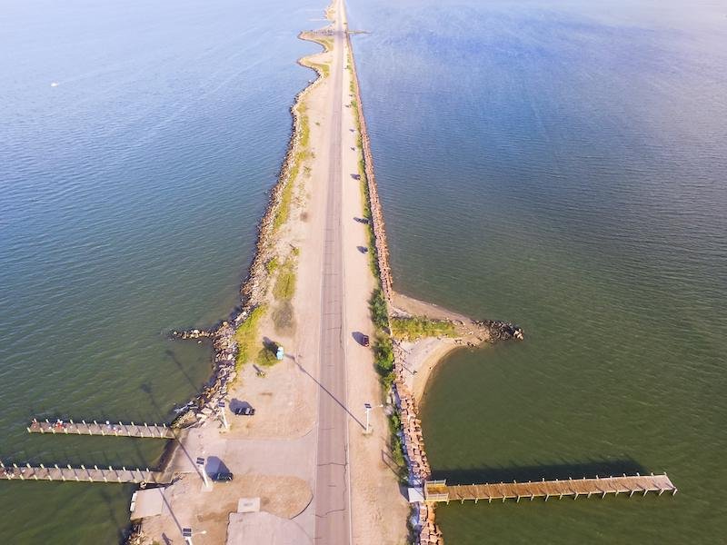
| Main Purpose | Reduce river overflow and floodwater spread. | Protect against tidal flooding and storm surges. |
| Land Use | Protect settlements and agricultural land from river floods. | Support protection and reclamation of low-lying coastal land. |
| Example | Mississippi River levee system, USA. | Netherlands, where levees, dikes and dams protect land from the North Sea. |
Limitations
- Residual Risk: Levees reduce but do not eliminate flood risk.
- Failure Risk: Breaching or overtopping can cause sudden, severe flooding.
Way Forward
- Regular Maintenance: Conduct periodic inspection, repair and monitoring to prevent breaches and overtopping.
- Integrated Flood Management: Combine levees with floodplain zoning, early-warning systems and drainage management to reduce overall flood risk.
FAQs
Q1. What is a levee?
Ans. A levee is a natural or man-made raised barrier along a river or coast that helps restrict the movement of water into adjoining land.
Q2. What is the main purpose of levees?
Ans. Their primary purpose is flood protection, particularly for settlements, agricultural areas and other low-lying land.
Q3. How are coastal levees different from river levees?
Ans. Coastal levees primarily restrict tidal and storm-water intrusion, while river levees mainly control river flooding and overflow.