
Context
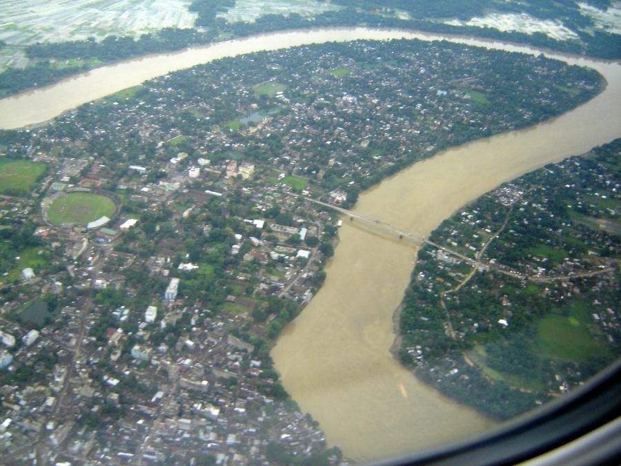
Two Bangladeshi nationals were recently arrested after allegedly jumping into the Barak River to evade police during an operation in Assam’s Cachar district. Two police personnel were reportedly injured.
About the Barak River
- Type: Transboundary river flowing through India and Bangladesh.
- Importance: One of the major rivers of Northeast India, after the Brahmaputra.
- Origin: Manipur Hills, south of Mao in Senapati district, Manipur.
- Length: Approximately 900 km, of which around 524 km lies in India.
- National Waterway: A 121-km stretch between Lakhipur and Bhanga in Assam is designated as National Waterway 16 (NW-16).
- Major Tributaries: Jiri, Chiri, Modhura, Jatinga, Harang, Dhaleswari, Singla, Longai, Sonai and Katakhal.
- Major Dams: Khoupum Dam, Mawphlang Dam, Gumti Hydro Dam and Myntdu-Leshka Dam.
Course of the River
- Originates in the Manipur Hills.
- Flows through the hilly regions of Manipur, along parts of the Manipur–Nagaland and Manipur–Mizoram boundaries, and through Assam.
- Enters Bangladesh, where it divides into the Surma and Kushiyara rivers.
- These rivers eventually form the Meghna River, which drains into the Bay of Bengal.
Barak River Basin
- Geographical Coverage: The basin extends across India, Bangladesh and Myanmar.
- Indian States: Meghalaya, Manipur, Mizoram, Assam, Tripura and Nagaland.
- Boundaries:
- North: Barail Range, separating it from the Brahmaputra basin.
- East: Naga and Lushai Hills.
- South and West: Mizo Hills and the territory of Bangladesh.
- Agro-Climatic Region: Falls within the Eastern Himalayan region.
- Land Use: Much of the basin is forested, while terrace farming is common due to its hilly terrain.
Barak Valley of Assam
- Location: Southernmost part of Assam.
- Districts: Cachar, Hailakandi and Karimganj.
- Communities: Home to diverse tribal and linguistic groups, including Dimasa, Manipuri, Rongmei Naga and Hmar communities, alongside a large Bengali-speaking population.
Frequently Asked Questions (FAQs)
Q1. Where does the Barak River originate, and where does it flow?
The Barak River originates in the Manipur Hills, flows through Manipur and Assam, and enters Bangladesh, where it divides into the Surma and Kushiyara rivers.
Q2. What is National Waterway 16 (NW-16)?
NW-16 is the 121-km navigable stretch of the Barak River between Lakhipur and Bhanga in Assam.
Q3. What are the major tributaries of the Barak River?
Major tributaries include the Jiri, Chiri, Jatinga, Dhaleswari, Longai, Sonai, Singla and Katakhal rivers.
Q4. Which river system does the Barak eventually join?
The Surma and Kushiyara rivers eventually form the Meghna River, which drains into the Bay of Bengal.