
Context
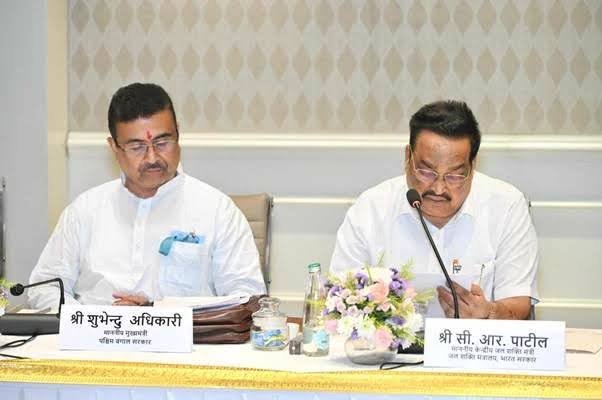
- The Union Minister of Jal Shakti recently launched the Punah Bharan Mobile Application to help identify suitable locations for groundwater recharge.
- The application uses geographical data and mapping technology to support scientific planning of artificial groundwater recharge.
About Punah Bharan Mobile Application
- Developed by: Bhaskaracharya National Institute for Space Applications and Geo-informatics (BISAG-N), in collaboration with the National Water Mission (NWM).
- Main Purpose: To help users locate areas where rainwater can be stored underground and identify suitable structures for replenishing groundwater.
- Key Features
- Identification of Recharge Areas: Users can find potential groundwater recharge locations within a radius of up to 3 km.
- Selection of Recharge Structures: It helps identify suitable structures for groundwater recharge depending on the geographical conditions of an area.
- Village-Level Mapping: Provides maps showing suitable locations for constructing Artificial Recharge Structures (ARS), helping in local-level planning.
- Use of Geospatial Data: Combines information on rainfall, groundwater levels, groundwater yield, land slope and drainage patterns to assess recharge potential.
- GIS-Based Planning: Provides mapping tools and geographical information layers to support better decisions on groundwater conservation.
What is BISAG-N?
- Bhaskaracharya National Institute for Space Applications and Geo-informatics (BISAG-N) is an autonomous scientific organisation working in the field of space applications and geospatial technology.
- Established as: An autonomous society registered under the Societies Registration Act, 1860.
- Ministry: Ministry of Electronics and Information Technology (MeitY).
- Location: Gandhinagar, Gujarat.
- Major Areas of Work: BISAG-N works across three main areas: Satellite Communication, Geo-informatics and Geospatial Technology.
- Key Functions
- Develops and applies geospatial technologies for various sectors.
- Conducts research, technology development and capacity-building activities.
- Supports cooperation with national and international institutions.
- Provides GIS-based solutions, including digital maps for planning and administration.
- Promotes technology transfer and entrepreneurship in geospatial applications.
Importance of the Application
- Better Groundwater Planning: Helps identify locations where artificial recharge can be undertaken based on local geographical conditions.
- Scientific Decision-Making: Uses multiple datasets instead of relying only on general assessments of groundwater availability.
- Decentralised Planning: Village-level maps can help local authorities plan recharge activities according to local needs.
- Sustainable Water Management: Supports efforts to replenish groundwater and improve long-term water availability.
Frequently Asked Questions (FAQs)
Q1. What is the Punah Bharan Mobile Application?
Punah Bharan is a mobile application launched by the Union Minister of Jal Shakti to identify suitable locations for artificial groundwater recharge using geospatial data and mapping technology.
Q2. Who developed the Punah Bharan application?
It was developed by the Bhaskaracharya National Institute for Space Applications and Geo-informatics (BISAG-N), in collaboration with the National Water Mission (NWM).
Q3. What are the major features of the Punah Bharan application?
It identifies potential recharge locations within a 3 km radius, suggests suitable recharge structures, provides village-level maps and uses GIS-based tools for groundwater recharge planning.
Q4. What geographical data does the application use to assess groundwater recharge potential?
It combines data on rainfall, groundwater levels, groundwater yield, land slope and drainage patterns to identify suitable locations and plan artificial recharge structures.
Q5. What is BISAG-N and which ministry does it come under?
BISAG-N is an autonomous scientific organisation based in Gandhinagar, Gujarat, working in satellite communication, geo-informatics and geospatial technology. It functions under the Ministry of Electronics and Information Technology (MeitY).