
Context
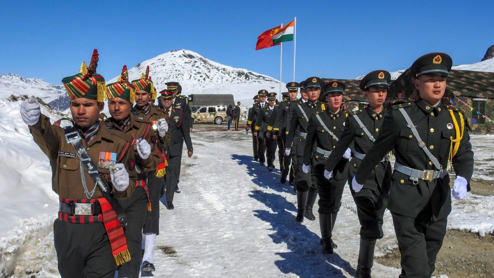
India and China have agreed to pursue an “Early and Substantial Harvest” in boundary delimitation and border management. Both sides also agreed to strengthen military communication along the Line of Actual Control (LAC).
India-China Boundary Dispute
- The disputed boundary extends for about 3,488 km and involves differing perceptions of the LAC.
- Western Sector: China controls about 38,000 sq km of territory claimed by India in Aksai Chin.
- Eastern Sector: China claims about 90,000 sq km in Arunachal Pradesh, referring to it as Zangnan or Southern Tibet.
- Central Sector: Smaller areas of disagreement exist in Himachal Pradesh and Uttarakhand.
- The 2020 eastern Ladakh crisis severely affected bilateral relations, making border stability important for normalisation.
Boundary Negotiations
- Both sides reaffirmed their commitment to a fair, reasonable and mutually acceptable settlement.
- Talks will follow the 2005 Agreement on Political Parameters and Guiding Principles and subsequent SR-level understandings.
- Under the Working Mechanism for Consultation and Coordination (WMCC):
- The Expert Group on Boundary Delimitation will pursue incremental progress on determining boundary alignment.
- The Working Group on Border Management will address frontier-management issues.
- Both groups will finalise their Terms of Reference (ToR).
- The current process does not constitute a final boundary settlement.
Military Communication
- The two countries agreed to establish:
- Two additional senior military commander-level meeting points.
- Two additional military hotlines in the Eastern and Middle Sectors.
- These mechanisms will facilitate direct communication and timely handling of local incidents along the LAC.
Wider Cooperation
- India and China agreed to strengthen border trade, pilgrimage and people-to-people exchanges.
- Three designated border trading points have been reopened.
- China has facilitated additional batches for the Kailash-Mansarovar Yatra.
- The Expert-Level Mechanism on Trans-border Rivers is scheduled to meet in September to discuss hydrological data sharing, relevant MoUs and river management.
Brahmaputra and Water Security
- The Brahmaputra (Yarlung Tsangpo) originates in Tibet and flows through India and Bangladesh.
- India’s concerns include upstream hydropower projects, downstream ecological impacts, sediment flows and flood management.
- Timely hydrological data is important for flood forecasting and disaster preparedness.
Way Forward
- Maintain military preparedness and border infrastructure alongside sustained diplomatic engagement.
- Pursue boundary negotiations through incremental, verifiable and agreement-based steps.
- Strengthen institutional communication for early resolution of local disputes.
Conclusion
India should pursue a dual-track approach—maintain robust border preparedness while advancing sustained, agreement-based dialogue to achieve durable peace and a mutually acceptable boundary settlement.
FAQs
Q1. What is meant by an “Early and Substantial Harvest”?
It refers to achieving concrete, incremental progress in selected areas of boundary delimitation and border management before a comprehensive settlement.
Q2. What is the role of the WMCC?
The Working Mechanism for Consultation and Coordination provides an institutional channel for discussing India-China border issues and coordination.
Q3. What is the difference between delimitation and demarcation?
Delimitation determines the alignment of a boundary through an agreement, while demarcation physically marks the agreed boundary on the ground.
Q4. Why is the 2005 Agreement significant?
The 2005 Agreement on Political Parameters and Guiding Principles provides a framework for negotiations towards a fair and mutually acceptable boundary settlement.
Q5. Why is the Brahmaputra strategically important for India?
Its upper reaches lie in Tibet, making upstream activities and hydrological data sharing important for India’s flood management, ecological security and water interests.
Q6. Why are military hotlines important along the LAC?
They enable rapid communication between military authorities, helping clarify incidents and reduce the risk of misunderstanding and escalation.