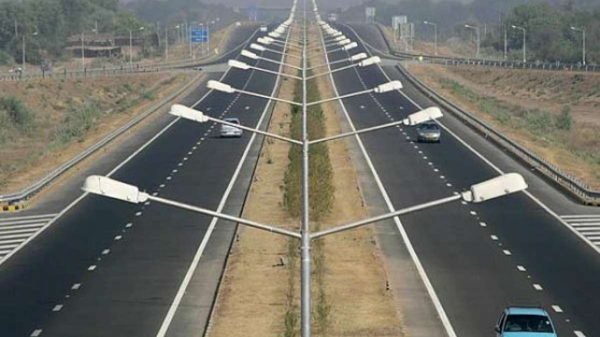
National highways are the lifelines of the Indian economy, forming a vast web that enables the movement of goods, people, and ideas across the subcontinent. India possesses the world’s second-largest road network, with national highways alone carrying nearly 40% of all road traffic despite accounting for only about 2.7% of the total road length.
I. The Longest Highway in India: National Highway 44
National Highway 44 (NH 44) stands as the ultimate artery of India’s road infrastructure. Spanning the entire vertical length of the country, it represents the primary North-South Corridor of the National Highways Development Project (NHDP).
- Distance: Approximately 3,745 km (officially listed up to 4,112 km depending on ongoing extensions).
- Route: It originates in Srinagar (Jammu & Kashmir) and terminates at Kanyakumari (Tamil Nadu).
- Formation: NH 44 was created by merging seven previously separate highways: NH 1A, NH 1, NH 2, NH 3, NH 75, NH 26, and NH 7.
- States Covered: It passes through 11 States and Union Territories, including Jammu & Kashmir, Himachal Pradesh, Punjab, Haryana, Delhi, Uttar Pradesh, Rajasthan, Madhya Pradesh, Maharashtra, Telangana, Andhra Pradesh, Karnataka, and Tamil Nadu.
II. Top 10 Longest National Highways in India
The following table lists the major highways that serve as the backbone for inter-state commerce and regional integration:
| S. No | National Highway | Distance (km) | Route |
| 1 | NH 44 | 3,745 | Srinagar to Kanyakumari |
| 2 | NH 27 | 3,507 | Porbandar (Gujarat) to Silchar (Assam) |
| 3 | NH 48 | 2,807 | Delhi to Chennai |
| 4 | NH 52 | 2,317 | Sangrur (Punjab) to Ankola (Karnataka) |
| 5 | NH 30 | 2,040 | Sitarganj (Uttarakhand) to Ibrahimpatnam (A.P.) |
| 6 | NH 6 | 1,873 | Jorabat (Meghalaya) to Seling (Mizoram) |
| 7 | NH 53 | 1,781 | Hazira (Gujarat) to Paradip Port (Odisha) |
| 8 | NH 16 | 1,711 | West Bengal to Chennai (East Coast Road) |
| 9 | NH 66 | 1,622 | Panvel (Maharashtra) to Kanyakumari |
| 10 | NH 19 | 1,435 | Delhi to Kolkata (Old Grand Trunk Road) |
III. Highway Classification and Numbering System
The Ministry of Road Transport and Highways (MoRTH) adopted a systematic numbering scheme in 2010 to help travelers understand their geographical orientation:
- Even Numbers: National Highways running North-South are assigned even numbers (e.g., NH 2, NH 44, NH 48). These numbers increase from East to West.
- Odd Numbers: National Highways running East-West are assigned odd numbers (e.g., NH 27, NH 31). These numbers increase from North to South.
- Three-Digit Numbers: These signify subsidiary highways or branches of a main highway. For example, NH 144 is a branch of NH 44.
IV. Strategic and Economic Significance
Highways are more than just roads; they are catalysts for national development:
- Connectivity: Projects like the Golden Quadrilateral link the four major metropolitan cities: Delhi, Mumbai, Chennai, and Kolkata.
- Safety and Efficiency: The development of national highways has reportedly reduced traffic congestion by roughly 40%, significantly lowering logistical costs.
- Modern Initiatives: In early 2026, the National Highways Authority of India (NHAI) launched the “Bee Corridors” initiative, transitioning from ornamental plantations to ecologically-driven green corridors that support pollinators and biodiversity.
- Shortest Highways: While NH 44 is the longest, NH 118 and NH 548 are among the shortest, both measuring approximately 5 km each, yet serving critical industrial or port-connectivity roles.
Ten FAQs on Indian National Highways
Which is the longest national highway in India?
National Highway 44 (NH 44) is the longest, stretching over 3,745 km from Srinagar to Kanyakumari.
Which highway forms the East-West Corridor?
NH 27 is the main East-West corridor, connecting Porbandar in Gujarat to Silchar in Assam.
What was the old name of NH 44? A large portion of NH 44 was previously known as National Highway 7.
Which agency is responsible for maintaining national highways?
The National Highways Authority of India (NHAI) is primarily responsible for their development and maintenance.
How many states does NH 44 pass through?
It traverses through 11 states and union territories.
What is the shortest national highway in India?
NH 118 (Jharkhand) and NH 548 (Maharashtra) are the shortest, at roughly 5 km each.
What does an even-numbered highway indicate?
An even number indicates a North-South oriented highway.
Which is the second-longest highway in India?
NH 27, spanning 3,507 km, is the second-longest highway.
Which city serves as the junction for the North-South and East-West corridors?
Jhansi (Uttar Pradesh) is the famous junction where NH 44 and NH 27 meet.
What is the significance of three-digit highway numbers?
They represent secondary or branch highways of the primary two-digit highways.