- Courses
- GS Full Course 1 Year
- GS Full Course 2 Year
- GS Full Course 3 Year
- GS Full Course Till Selection
- Answer Alpha: Mains 2025 Mentorship
- MEP (Mains Enrichment Programme) Data, Facts
- Essay Target – 150+ Marks
- Online Program
- GS Recorded Course
- Polity
- Geography
- Economy
- Ancient, Medieval and Art & Culture AMAC
- Modern India, Post Independence & World History
- Environment
- Governance
- Science & Technology
- International Relations and Internal Security
- Disaster Management
- Ethics
- NCERT Current Affairs
- Indian Society and Social Issue
- NCERT- Science and Technology
- NCERT - Geography
- NCERT - Ancient History
- NCERT- World History
- NCERT Modern History
- CSAT
- 5 LAYERED ARJUNA Mentorship
- Public Administration Optional
- ABOUT US
- OUR TOPPERS
- TEST SERIES
- FREE STUDY MATERIAL
- VIDEOS
- CONTACT US
Philadelphi Corridor
Philadelphi Corridor
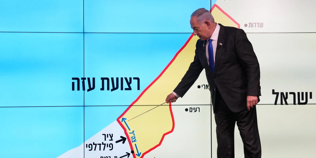
The Philadelphi Corridor is a narrow strip of land that serves as a key border area between the Gaza Strip and Egypt's Sinai Peninsula. This area has gained significant attention due to recent ceasefire agreements between Israel and Hamas, which stipulate Israel's withdrawal from the corridor.
Key Features of the Philadelphi Corridor
- Geographic Location and Dimensions:
- The Philadelphi Corridor spans approximately 14 kilometers in length and is 100 meters wide.
- It runs from the Mediterranean Sea in the west to the Kerem Shalom crossing in the east, which connects Gaza to Israel.
- Historical Context:
- The corridor was originally established as part of the 1979 Israel-Egypt Peace Treaty.
- After Israel’s withdrawal from Gaza in 2005, the area was designated as a demilitarized zone, meaning it was meant to remain free from military presence, including Israeli settlements and troops.
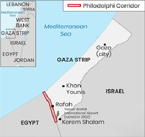
- Strategic Importance:
- The corridor serves as a critical border zone, lying between the southern part of the Gaza Strip and Egypt's Sinai Peninsula.
- It plays a significant role in the movement of goods and people between Gaza and Egypt, especially given the political and military restrictions in Gaza.

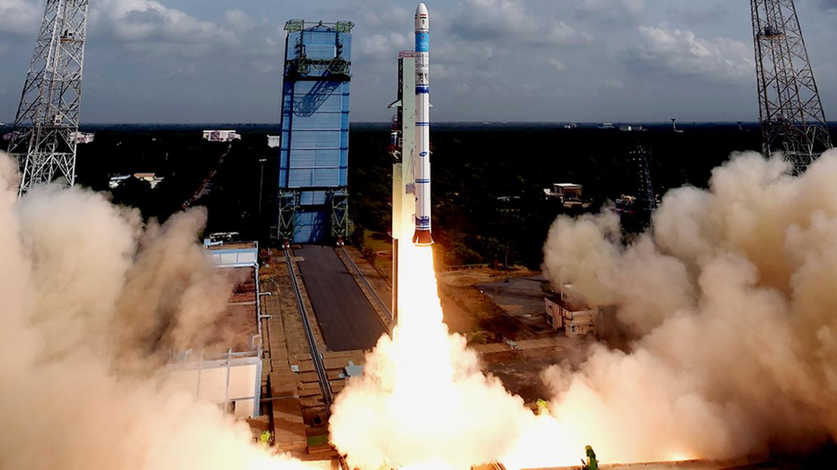
HAL-ISRO Deal on SSLVs

India’s EV Surge: Manufacturing for the Future

PLACES IN NEWS 21st June 2025
Karol Bagh Metro Pillar No. 112, Above Domino's, 22B, First Floor, New Delhi - 110060
Very Important Instruction For Any Issue, Student Must Produce His/Her Fee Receipt. Without Fee Receipt, It Will Not Be Possible To Track Your Details. If You Have Been Given Any Special Consideration, You Must Keep That In Writing And Produce In Case Of Conflict.
Copyright © 2024-2026 ENSURE IAS. All rights reserved.