
Context
- The Government of India has issued the operational guidelines for the third phase of the Digital India Land Records Modernization Programme (DILRMP 3.0).
- The programme has an outlay of ₹565.5 crore and will cover 2026–31.
Evolution
- In 2008, the Computerization of Land Records (CLR) and Strengthening of Revenue Administration and Updating of Land Records (SRA & ULR) were merged to form the National Land Records Modernization Programme (NLRMP).
- In 2016, NLRMP was brought under the Digital India framework and renamed DILRMP.
Key Features
- Bhu-Aadhaar (ULPIN): A framework to assign a 14-digit Unique Land Parcel Identification Number (ULPIN) to each land parcel.
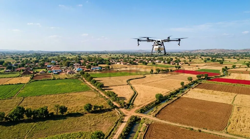
- Digitisation and georeferencing: Cadastral maps will be digitised and linked with geographical coordinates to provide precise spatial references.
- Paperless property registration: The programme envisages an end-to-end online registration process and a new Registration Repository. It also proposes upgrading 75 Sub-Registrar Offices (SROs) into Registration Seva Kendras.
- Integrated revenue courts: The Revenue Court Case Management System (RCCMS) will be integrated with land records to facilitate digital management and tracking of land-related cases.
- NAKSHA pilot: The programme includes completion of the NAKSHA pilot for urban areas.
- State land stacks: States can integrate land-related datasets and systems through Application Programming Interfaces (APIs). These state-level stacks are envisaged as building blocks of a federated national land stack.
Implementation
- Duration: 2026–31
- Outlay: ₹565.5 crore
- Funding: 100% Central funding
- Scheme Type: Central Sector Scheme
- Implementing Department: Department of Land Resources (DoLR)
- Ministry: Ministry of Rural Development
- Monitoring: DILRMP-MIS dashboard
FAQs
Q1. What is ULPIN?
ULPIN stands for Unique Land Parcel Identification Number. It is envisaged as a 14-digit identifier for individual land parcels.
Q2. What is georeferencing of cadastral maps?
It involves linking cadastral maps with geographical coordinates so that mapped land parcels have precise spatial references.
Q3. What are Registration Seva Kendras?
They are proposed upgraded Sub-Registrar Offices intended to provide digitally enabled property-registration services.
Q4. What is RCCMS?
The Revenue Court Case Management System is intended to digitally manage and track land-related revenue cases.
Q5. Why are APIs important under DILRMP 3.0?
Application Programming Interfaces (APIs) enable separate digital systems to connect and exchange land-related information.
Q6. What is a federated national land stack?
It is a broader digital architecture formed through the interconnection of state-level land systems.
Q7. Which ministry implements DILRMP 3.0?
The programme is implemented by the Department of Land Resources under the Ministry of Rural Development.