
Context
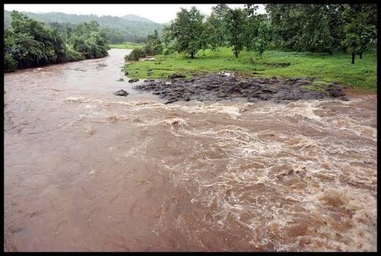
The Vaitarna River in Maharashtra was recently in the news after two teenagers drowned while attempting a reel during Ganeshotsav.
Geographical Features
- Origin & Course: Originates from the Trimbak-Anjaneri Hills near Trimbakeshwar, Nashik, part of the Sahyadri (Western Ghats), and flows westward for about 154 km into the Arabian Sea.
- Region: Flows through Nashik, Palghar and Thane districts; Jhow and Wadhiv islands lie in its estuary, while Arnala Island is near its mouth.
- Rainfall: Nearly 98% of annual basin rainfall occurs during the Southwest Monsoon (June–October), resulting in seasonal river flow.
- Tributaries: Major tributaries include Tansa, Pinjal, Surya, Alvand, Dahanu and Ganjai.
Importance
- Mumbai’s Water Security: The Vaitarna river system and its dams are a major source of Mumbai’s drinking water.
- Regional Importance: It supports water resources and ecosystems in northern Maharashtra.
FAQs
Q1. Where does the Vaitarna River originate?
Ans: It originates from the Trimbak-Anjaneri Hills near Trimbakeshwar in Nashik, within the Western Ghats.
Q2. What is the approximate length of the Vaitarna River?
Ans: The river is approximately 154 km long.
Q3. Where does the Vaitarna River drain?
Ans: It flows westward and ultimately drains into the Arabian Sea.