Why in the News?
- The African Union (AU) has supported the campaign called “Correct the Map” to replace the old Mercator projection with maps that show Africa’s real size.
- The AU has recommended the Equal Earth projection (2018) as a better option because it represents countries more accurately.
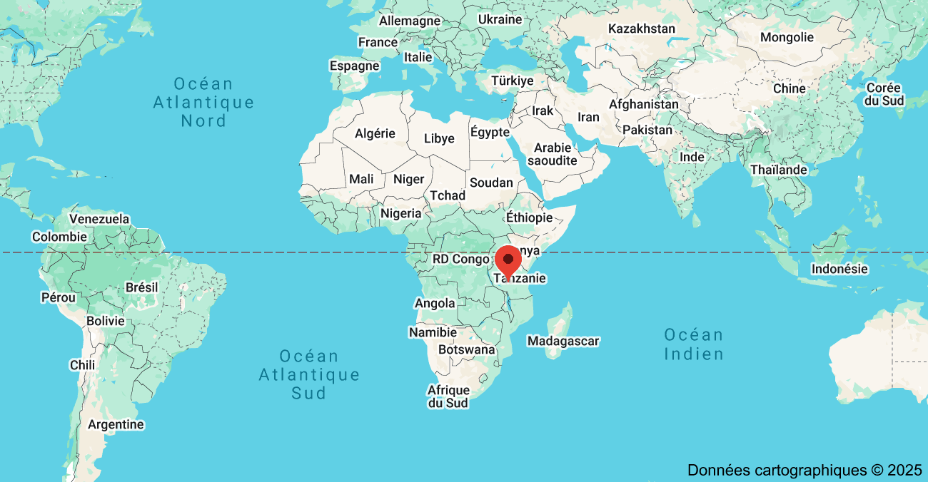
- This move follows long-standing criticism that the Mercator map enlarges Europe and North America but shrinks Africa, South America, and India.
Key Highlights
- Origin of the Mercator Map (1569)
- Designed by Gerardus Mercator for sailors so that they could follow straight compass directions on sea routes.
- It used a rectangular grid where latitude and longitude crossed at right angles.
- The map became very popular in schools and atlases by the 19th century.
- Main Problem with the Mercator Map
- To fit the round Earth on a flat surface, the map stretched the northern and southern regions.
- This made countries near the poles look much larger than they really are.
- Example: Greenland looks as big as Africa, even though Africa is about 14 times larger.
- Early Criticism and Awareness
- Scholars and activists said the Mercator map promotes a Eurocentric worldview.
- The American TV show The West Wing highlighted this bias.
- In 2017, Boston schools replaced Mercator with the Gall-Peters map, which shows countries in their true proportion of area.
- Equal Earth Projection (2018)
- A modern map designed by cartographers to show countries at their true size.
- It is more visually balanced than Gall-Peters, while still keeping areas accurate.
- It was created especially for education and global representation.
- The AU’s Stand (2025)
- The AU has urged governments, schools, media, and international bodies to adopt Equal Earth
- The goal is to give Africa its “rightful place” on the world stage and move away from colonial distortions.
Implications
- Education and Awareness: Students will see Africa, India, and South America in their true scale. This reduces the bias that Africa is small or less important.
- Policy and Media Narratives: Accurate maps can change how the world views Africa’s size, resources, and importance. It can lead to fairer discussions on development, aid, and climate change.
- Technology and Mapping Platforms: Online maps mostly use Web Mercator for navigation. For world overviews, platforms can adopt Equal Earth, while still using Mercator for GPS and routing.
- Global Diplomacy: Shows Africa’s true size in international forums, strengthening its soft power. Counters old colonial-era views of Africa as “small and weak.”
- Business and Trade: Accurate maps can affect investment decisions, trade routes, and market studies. Africa will be seen as a major economic and demographic hub.
Challenges and Way Forward
| Challenges | Why it matters | Way Forward |
| Legacy of Mercator | It is still widely used in classrooms, offices, and media. | Governments should issue guidelines to use Equal Earth for all world maps. |
| Web mapping defaults | Online maps still run on Mercator because of technical ease. | Use Mercator for navigation but Equal Earth for global views. |
| Trade-offs in projections | No map can preserve both shape and area perfectly. | Train teachers and students about pros and cons of projections. |
| Cost of replacement | Updating school maps and atlases will need funds. | Do it in phases with open-source Equal Earth maps to cut costs. |
| Public acceptance | People are used to the Mercator look. | Run awareness campaigns showing Africa vs Greenland comparisons. |
Conclusion
The African Union’s push to replace the Mercator map is about restoring fairness in representation. While Mercator was useful for sailors, it is not the right choice for showing the world’s geography today. By adopting the Equal Earth projection, Africa and other regions will be shown in their true size and importance. This move can reshape education, policy, and international perception, helping the world to “see Africa as it truly is.”
| Ensure IAS Mains Question Q. The African Union has endorsed the “Correct the Map” campaign to replace the Mercator projection with equal-area maps. Discuss how map projections can shape global perceptions and the implications of adopting the Equal Earth projection for Africa and the developing world. (150 words) |
| Ensure IAS Prelims Question Q. Which of the following statements is/are correct about the Mercator projection? 1. It preserves the true size of all countries and continents. 2. It was originally designed to assist sailors in navigation. 3. It exaggerates the size of regions closer to the poles. Select the correct answer using the code below: a) 1 and 2 only b) 2 and 3 only c) 1 and 3 only d) 1, 2 and 3 Answer: b) 2 and 3 only Explanation: Statement 1 is incorrect: The Mercator projection does not preserve size. It enlarges areas near the poles (e.g., Greenland, Europe) and shrinks equatorial areas (e.g., Africa, India, South America). Statement 2 is correct: Gerardus Mercator created this projection in 1569 specifically to help sailors navigate, because it allowed them to draw straight rhumb lines (constant compass bearings) across the oceans. Statement 3 is correct: The projection distorts areas near the poles by stretching them, making them appear much larger than they are. Example: Greenland looks almost the same size as Africa, but Africa is about 14 times bigger. |


