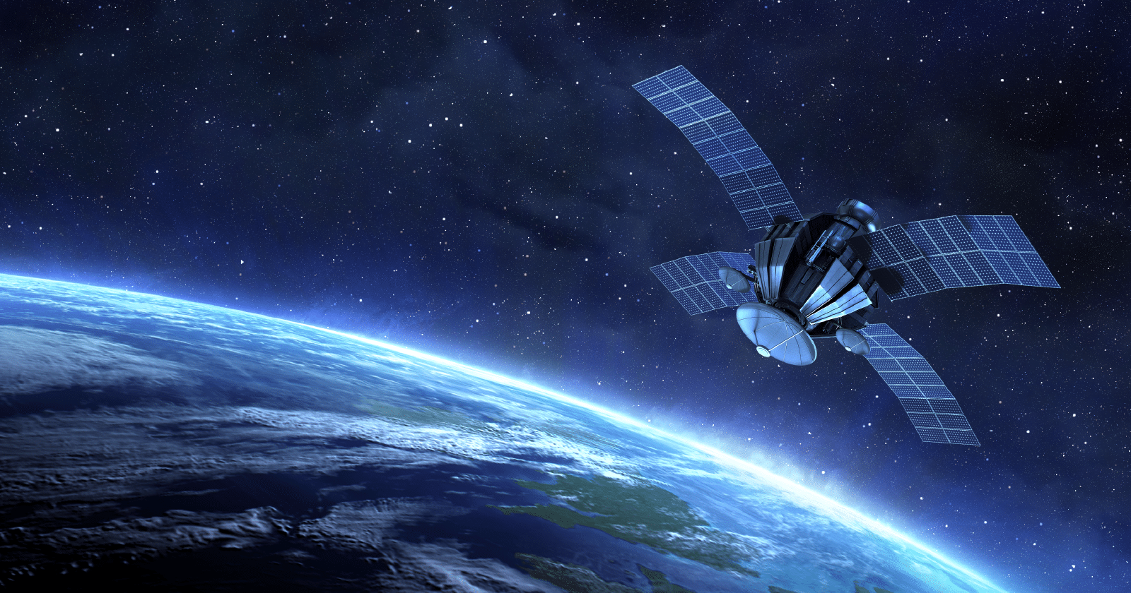
Q1. What is remote sensing and how is it different from direct observation?
- Remote sensing
- Remote sensing means studying the Earth without touching it.
- Information is collected using satellites, aircraft, or drones.
- These platforms use special sensors to observe land, water, forests, crops, and minerals.
- Difference from direct observation
- Direct observation means going physically to the place (survey, digging, drilling).
- Remote sensing works from a distance.
- It saves time, cost, and effort.
- It is useful in dangerous or inaccessible areas (floods, forests, borders).
- Example: Instead of digging randomly for water or minerals, satellites first show where to look.
Q2. What are the fundamental principles behind remote sensing?
Remote sensing works on simple steps:
- Electromagnetic Energy Source: The Sun or the sensor sends energy.
- Energy Interaction: This energy falls on the Earth.
- Spectral Behaviour: Different objects reflect or absorb energy differently.
- Detection by Sensors: A sensor records this reflected energy.
- Data Interpretation: Computers convert this into images and maps.
The entire process depends on energy-object interaction.
Q3. What are spectral signatures and how are they used to identify objects?
- Every object reflects light in its own way.
- This reflection pattern is called a spectral signature.
- It acts like a fingerprint of that object.
- By reading these signatures, satellites can identify objects correctly.
- Example: Healthy plants absorb red light and reflect near-infrared light whereas water reflects very little infrared light.
- Use: It can be used to assess crop health, water bodies, forest biomass, etc.
Q4. What are the types of remote sensing (active vs passive)?
| Basis | Passive Remote Sensing | Active Remote Sensing |
| Energy Source | Uses natural energy (mainly sunlight). | The sensor emits its own energy and measures reflection. |
| Example | Optical and infrared sensors. | Synthetic Aperture Radar (SAR). |
| Operational Capability | Cannot work at night or through clouds. | Works day and night. Penetrates clouds, rain, and fog. Ideal for flood and disaster monitoring |
Q5. What is electromagnetic spectrum and why is it central to remote sensing?
- EMS is the complete range of all types of light and energy waves that travel through space.
- It includes:
- Radio waves: Longest waves but least energy, used in radios, TV, and communication.
- Microwaves: Shorter than radio waves, used in cooking and radar.
- Infrared: Felt as heat, used in remote controls and thermal cameras.
- Visible light: The tiny part we can see – red to violet colors.
- Ultraviolet: Invisible to us, but causes sunburn and helps sterilize equipment.
- X-rays: Used in medical imaging to see inside the body.
- Gamma rays: Shortest, most energetic waves, produced in nuclear reactions and cosmic events.
- Remote sensing uses this EMS to study different wavelengths and gather data as different objects interact differently with EMS.
Q6. What is resolution in remote sensing (spatial, spectral, temporal, radiometric)?
- Resolution means how clear and detailed the data is.
- Types of Resolutions:
- Spatial resolution: How small an object can be seen
- Spectral resolution: Number of colour bands used
- Temporal resolution: How often a place is revisited
- Radiometric resolution: Ability to detect small energy differences
- Higher resolution means better analysis.
Q7. How is remote sensing data processed?
Remote sensing data is processed through a series of steps:
- Data Acquisition: Sensors on satellites or aircraft capture electromagnetic radiation reflected or emitted from Earth’s surface.
- Preprocessing: Raw data is corrected for distortions caused by atmosphere, sensor errors, or geometric issues (e.g., radiometric and geometric corrections).
- Image Enhancement: Techniques like contrast stretching, filtering, or false-color composites are applied to make features more visible.
- Classification: Pixels are grouped into categories (e.g., forest, water, urban) using supervised (guided by known samples) or unsupervised (automatic clustering) classification methods.
- Interpretation & Analysis: Analysts study processed images to extract patterns, measure changes, or identify resources.
- Integration with GIS: Remote sensing data is combined with geographic information systems for mapping and spatial analysis.
- Application: Final outputs are used in agriculture, disaster management, urban planning, climate studies, and defense.
Q8. What are the various applications of remote sensing and how is it integrated into governance?
- Various Applications
- Agriculture: Crop health monitoring, drought assessment, irrigation planning.
- Disaster Management: Flood mapping, cyclone tracking, landslide risk analysis.
- Urban Planning: Monitoring city growth, roads, and building layouts.
- Climate & SDGs: Forest carbon estimation, glacier retreat, water resource mapping.
- Defence: Border surveillance, terrain analysis, strategic mapping.
- Integration into Governance
- Smart Cities: Infrastructure planning, traffic and pollution monitoring.
- Digital Land Records: Accurate mapping of property boundaries and land use classification.
- Natural Resource Management: Forests, minerals, water bodies tracked for sustainable use.
- Environmental Monitoring: Air quality, deforestation, biodiversity conservation.
Q9. What are India’s major remote sensing satellites?
- IRS Series: India’s first operational remote sensing satellites.
- Cartosat Series: High‑resolution imaging satellites used for mapping, urban planning, and infrastructure monitoring.
- RISAT Series: Radar Imaging Satellites providing all‑weather, day‑night surveillance – crucial for disaster management and defense.
- Resourcesat: Focused on agriculture, forestry, and land resource management.
- Oceansat: Dedicated to oceanography, fisheries, and coastal studies.
Q10. What are the limitations of remote sensing?
- Cloud Cover & Atmosphere: Optical sensors cannot see through clouds, haze, or smoke, limiting data reliability.
- Resolution Constraints: Spatial, spectral, and temporal resolution may not always match the detail required for specific studies.
- High Cost & Complexity: Advanced sensors, satellites, and data processing demand significant investment and technical expertise.
- Data Interpretation Issues: Requires trained analysts; misclassification or errors can lead to wrong conclusions.
- Ethical & Privacy Concerns: High‑resolution imagery raises questions of surveillance, data ownership, and misuse.
- Limited Ground Truthing: Remote sensing data often needs validation with field surveys for accuracy.
Q11. What is the future of remote sensing with AI, machine learning, and big data analytics?
- AI & Machine Learning for Faster Analysis: Automates classification of land cover, detects patterns, and reduces human error.
- Real‑Time Disaster Warnings: Enables rapid flood, cyclone, and earthquake alerts by processing satellite data instantly.
- Better Crop & Climate Prediction: Enhances forecasting of yields, droughts, and climate change impacts using predictive models.
- Integration with Drones & Big Data: Combines satellite imagery with drone surveys and massive datasets for high‑resolution, localized insights.
Conclusion
Remote sensing enables us to observe and manage Earth’s resources efficiently from a distance, supporting informed decision-making in governance, development, and disaster management. With AI and advanced analytics, its role will become even more critical in achieving sustainable and resilient growth.
| Ensure IAS Mains Question
Q. Explain the concept of remote sensing and examine its role in governance and sustainable development in India. (250 words) |
| Ensure IAS Prelims Question
Q. Consider the following statements regarding remote sensing: 1. Remote sensing depends on the interaction between electromagnetic energy and Earth’s surface objects. 2. Passive remote sensing systems can operate effectively at night and during heavy cloud cover. 3. Spectral signatures help in identifying and distinguishing different surface features such as vegetation and water bodies. Which of the statements given above are correct? [A] 1 and 3 only [B] 1 and 2 only [C] 2 and 3 only [D] 1, 2 and 3 Answer: [A] 1 and 3 only Explanation: Statement 1 is correct: Remote sensing is based on the interaction of electromagnetic energy with Earth’s surface, where different objects reflect or absorb energy differently, allowing sensors to collect information. Statement 2 is incorrect: Passive remote sensing depends mainly on sunlight and therefore cannot work effectively at night or under heavy cloud cover. Statement 3 is correct: Spectral signatures act like fingerprints of objects and are used to identify features such as healthy vegetation, water bodies, and forests. |