Context
Recent studies show that the Kosi River has shifted its course over 100 kilometres westward in the last two centuries due to heavy sediment load carried from the Himalayas, large volumes of monsoon rainfall and formation of braided river channels in the plains.
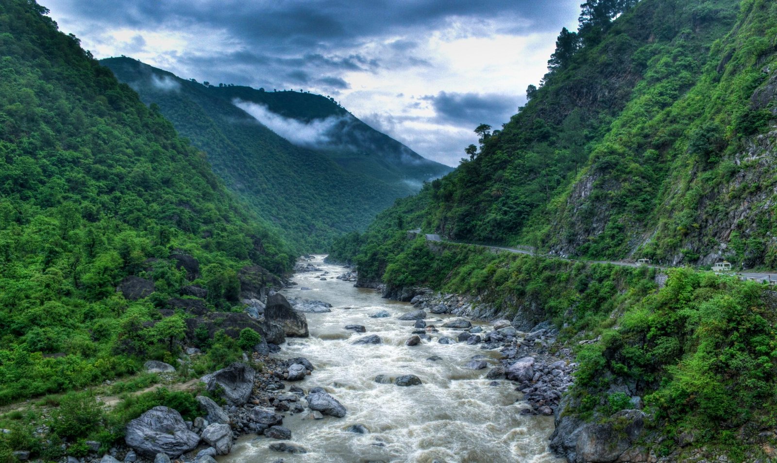
About the Kosi River
- It is one of the major tributaries of the Ganges River which flows through China, Nepal and India (transboundary river).
- Because of the severe flooding it causes in Bihar, the river is popularly known as the “Sorrow of Bihar.”
- The Kosi River is formed by the confluence of three major Himalayan streams – Sun Kosi, Arun Kosi and Tamur Kosi. These rivers originate in the Himalayan region of Nepal and Tibet and combine to form the main Kosi system.
- The river follows a complex course through the Himalayan and plains regions.
- About 48 km north of the India–Nepal border, the river receives several additional tributaries.
- It then cuts through the Siwalik Hills via the narrow Chatra Gorge.
- After passing through the hills, the river enters the northern plains of Bihar.
- Finally, after travelling approximately 724 km, it joins the Ganges River south of Purnea.
- Drainage Basin: Total drainage area = 74,500 sq km. Area within India = about 11,070 sq km
- Agriculture: The sandy alluvial soils deposited by the river support agriculture in the basin. One important crop grown extensively in the region is corn (maize).
- Major Tributaries: The Kosi river system consists of seven major tributaries:
- Sun Koshi
- Tama Koshi (Tamba Koshi)
- Dudh Koshi
- Indravati
- Likhu
- Arun
- Tamor
FAQs
Q1. Why is the Kosi River called the “Sorrow of Bihar”?
The Kosi River is known as the “Sorrow of Bihar” because of its frequent and devastating floods. Heavy sediment load from the Himalayas and shifting river channels cause widespread destruction in Bihar’s plains almost every monsoon season.
Q2. How has the Kosi River changed its course over time?
Recent studies show that the Kosi River has shifted its course over 100 km westward in the last two centuries. This shift is due to Himalayan sediment deposits, intense monsoon rainfall, and the formation of braided river channels.
Q3. Where does the Kosi River originate and flow?
The Kosi River originates in the Himalayan region of Nepal and Tibet, formed by the confluence of Sun Kosi, Arun Kosi, and Tamur Kosi. It flows through Nepal into Bihar, India, before joining the Ganges River south of Purnea after a journey of about 724 km.
Q4. What is the drainage basin of the Kosi River?
The Kosi River has a total drainage area of 74,500 sq km, of which about 11,070 sq km lies in India. Its sandy alluvial soils support agriculture, with maize (corn) being a major crop in the basin.