Context
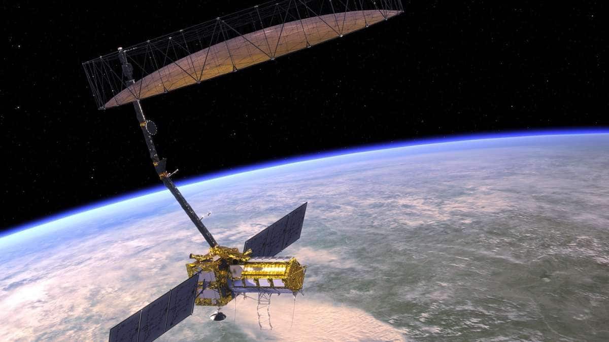
Indian space start-up GalaxEye launched its first satellite, ‘Drishti’, aboard a SpaceX Falcon 9 rocket from Vandenberg Space Force Base in California. The satellite is regarded as the world’s first Earth observation system capable of simultaneously capturing optical and radar images of the same location. The launch marks an important advancement in India’s private space sector and indigenous satellite imaging capabilities.
Space Imaging Technology
- Space imaging refers to the collection of visual and electromagnetic data from space for observing Earth and outer space objects.
- The technology is widely used in environmental monitoring, agriculture, disaster management, infrastructure planning, weather analysis and defence surveillance.
Major Space Imaging Technologies
Optical Imaging
- Optical sensors capture visible light to generate clear and high-resolution images.
- These systems are useful for mapping and visual interpretation.
- However, their effectiveness declines during cloud cover and low-light conditions.
Synthetic Aperture Radar (SAR)
- SAR technology uses microwave signals to image Earth’s surface.
- It can function under all weather conditions and during both day and night.
- However, SAR imagery is comparatively complex and requires specialised interpretation.
Emerging Imaging Technologies
- Infrared and thermal imaging are used to detect heat signatures and temperature variations.
- Hyperspectral imaging enables identification of minerals, vegetation and gases through spectral analysis.
- Artificial intelligence and cloud computing are increasingly being integrated into satellite systems for real-time data processing and analysis.
Limitations of Conventional Imaging Systems
- Existing Earth observation systems generally rely on either optical imaging or SAR technology separately.
- Optical satellites provide visually clear images but face operational limitations under cloudy conditions.
- SAR satellites ensure uninterrupted imaging capability but produce data that is relatively difficult for ordinary users to interpret.
- Combining datasets from separate optical and radar satellites often creates alignment and synchronisation challenges.
Drishti’s Opto-SAR Innovation
- Drishti integrates optical and SAR sensors within a single satellite platform.
- The satellite enables both systems to observe the same geographical location simultaneously.
- GalaxEye developed a proprietary synchronisation mechanism that aligns both imaging systems in real time.
- This reduces dependence on manual data fusion and improves the accuracy and usability of satellite imagery.
- Artificial intelligence is also used to generate optical-like imagery from SAR data when cloud cover obstructs visual imaging, thereby improving continuity of Earth observation.
Relevance for India
- Tropical countries such as India frequently experience cloud cover and unpredictable weather conditions that affect conventional optical imaging systems.
- Drishti addresses this challenge by enabling reliable and continuous Earth observation irrespective of weather conditions.
- The technology is particularly relevant for developing countries that require affordable and uninterrupted imaging systems.
Applications of Drishti
- The satellite has both civilian and strategic applications.
- It can be used for crop monitoring, disaster response, urban planning, infrastructure assessment, border management and defence intelligence.
India’s Expanding Private Space Ecosystem
- Drishti reflects the growing contribution of Indian private start-ups in advanced space technologies.
- The Indian Space Policy 2023 has encouraged private participation by opening end-to-end space activities to non-government entities.
- Indian companies are increasingly contributing to innovations in launch systems, satellite technologies and propulsion systems, thereby strengthening India’s commercial and strategic space capabilities.
Conclusion
The launch of Drishti highlights India’s growing capabilities in advanced Earth observation and private space innovation. By integrating optical and radar imaging within a single platform, the satellite addresses important limitations associated with conventional imaging systems and improves all-weather observation capability. The development also reflects the increasing role of Indian start-ups in strengthening technological self-reliance and strategic capacity in the space sector.