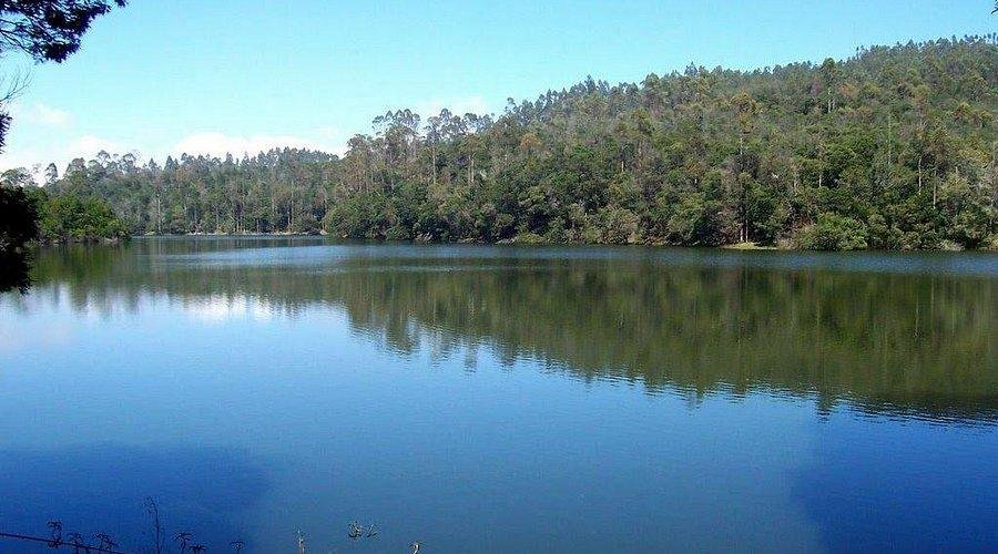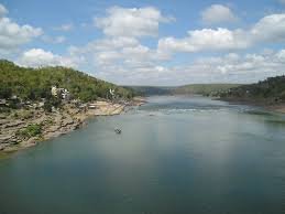
The Narmada River, also known as the Reva, is the fifth-longest river in India and holds the distinction of being the longest west-flowing river in the country. It serves as the lifeline of Madhya Pradesh and Gujarat, flowing through a unique geological feature—a rift valley—wedged between the Vindhya and Satpura mountain ranges. Unlike most major peninsular rivers that drain into the Bay of Bengal, the Narmada travels westward to meet the Arabian Sea.
Origin and Course of the Narmada
- Source: The river originates from the Maikala Range at Amarkantak in the Anuppur district of Madhya Pradesh, at an elevation of approximately 1,057 meters.
- Path: It flows for a total length of 1,310 kilometers. For most of its course, it flows through a rift valley, acting as a natural boundary between North and South India.
- Mouth: The river reaches its end at the Gulf of Khambhat (Arabian Sea), south of Bharuch in Gujarat.
- Estuary formation: Because it flows through a rocky rift valley with a high gradient, the Narmada does not form a delta; instead, it forms a deep estuary.
The Narmada River Basin
The basin is a critical ecological and economic zone covering approximately 98,796 square kilometers (about 3% of India’s total area).
- Boundaries:
- North: Vindhya Range
- South: Satpura Range
- East: Maikala Range
- West: Arabian Sea
- State Distribution: The basin spans primarily across Madhya Pradesh (86%) and Gujarat (12%), with smaller portions in Maharashtra and Chhattisgarh.
- Topography: The upper basin is rugged and mountainous, while the middle and lower reaches consist of fertile alluvial plains ideal for agriculture.
Tributaries of the Narmada
The Narmada is fed by a large number of tributaries, though most are relatively short. The Tawa River is the most significant among them.
Left Bank Tributaries
These tributaries join the Narmada from the south (Satpura side).
- Tawa River: The largest left-bank tributary; vital for irrigation in Madhya Pradesh.
- Banjar River
- Sher River
- Shakkar River
- Dudhi River
- Ganjal River
- Chhota Tawa River
- Kundi River
- Goi River
2 Right Bank Tributaries
These tributaries join from the north (Vindhya side).
- Hiran River
- Orsang River: Plays a major role in the water supply of Gujarat.
- Barna River
- Kolar River
- Man River
- Uri River
- Hatni River
- Tendoni River
Key Features and Major Projects
- Natural Wonders:
- Dhuandhar Falls: A spectacular waterfall located at Bhedaghat near Jabalpur.
- Marble Rocks: Towering magnesium limestone rocks that create a deep gorge through which the river flows.
- Major Dams and Hydropower:
- Sardar Sarovar Dam: Located in Gujarat, it is one of the largest water resources projects in India.
- Indira Sagar Dam: The largest reservoir in India by storage capacity.
- Omkareshwar and Maheshwar Dams: Key projects for irrigation and power.
- Religious Significance: The river is considered one of the five holy rivers of India. The Narmada Parikrama (circumambulation of the river) is a significant spiritual pilgrimage.
Frequently Asked Questions (FAQs)
WHERE DOES THE NARMADA RIVER ORIGINATE?
The river originates from the Amarkantak Plateau in the Maikala Range of Madhya Pradesh.
WHICH IS THE LARGEST TRIBUTARY OF THE NARMADA?
The Tawa River is the largest left-bank tributary of the Narmada.
WHY DOES THE NARMADA NOT FORM A DELTA?
It flows through a rift valley with a steep gradient and hard rocky bed, which prevents the accumulation of silt at its mouth, leading to the formation of an estuary instead of a delta.
BETWEEN WHICH TWO MOUNTAIN RANGES DOES THE NARMADA FLOW?
It flows through a rift valley between the Vindhya Range (to the north) and the Satpura Range (to the south).
IN WHICH STATE IS THE SARDAR SAROVAR DAM LOCATED?
The Sardar Sarovar Dam is located in the state of Gujarat.
WHAT IS THE TOTAL LENGTH OF THE NARMADA RIVER?
The total length of the river is 1,310 kilometers.
WHICH IS THE HIGHEST WATERFALL ON THE NARMADA?
The Dhuandhar Falls near Jabalpur is the most famous and highest waterfall on the river.
WHICH STATES ARE PART OF THE NARMADA BASIN?
The basin covers parts of Madhya Pradesh, Gujarat, Maharashtra, and Chhattisgarh.
HOW DOES THE NARMADA RANK IN TERMS OF LENGTH IN INDIA?
It is the fifth-longest river in India and the longest among all west-flowing rivers.
WHAT IS THE ANCIENT NAME OF THE NARMADA RIVER?
In ancient texts and local lore, the river is frequently referred to as the Reva.