The Mahanadi, whose name literally translates to “Great River,” is a lifeline for the states of Chhattisgarh and Odisha. As the eighth-largest river basin in India and the second-most potent water source among peninsular rivers (after the Godavari), it plays a critical role in the socio-economic and ecological landscape of East-Central India.
Recent developments in February 2026 indicate a positive shift in inter-state relations, as Odisha and Chhattisgarh have moved toward an amicable resolution of their long-standing water-sharing dispute through mutual dialogue before the Mahanadi Water Disputes Tribunal (MWDT).
1.Geographical Profile: Course and Basin
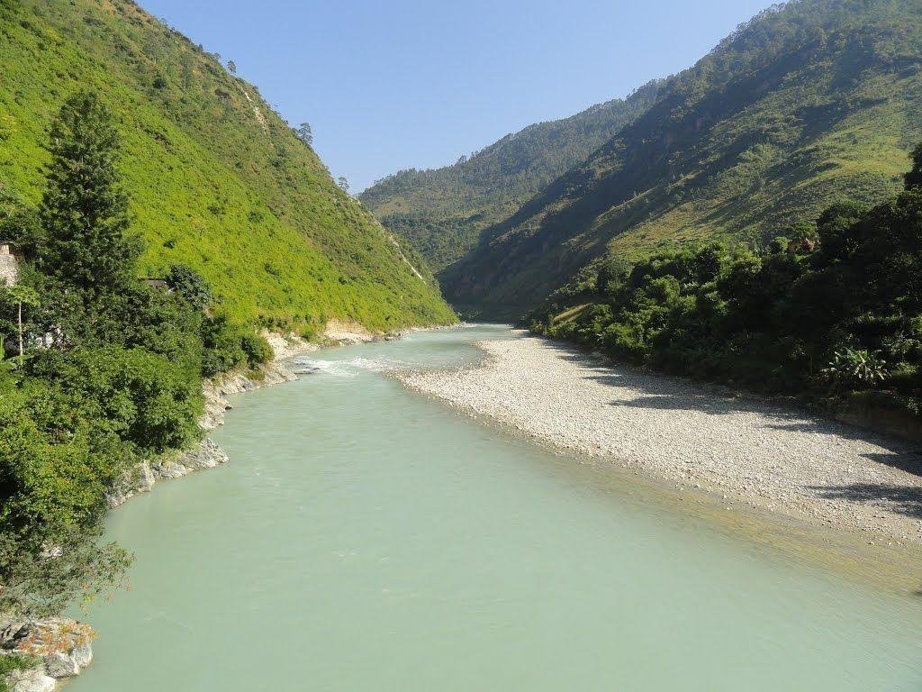
The Mahanadi is a major east-flowing peninsular river, renowned for its extensive delta and active silt-depositing nature.
- Origin: It rises from the Sihawa range of hills in the Dhamtari district of Chhattisgarh.
- Path & Length: Covering a distance of approximately 851–860 km, the river flows eastward, cutting through the Eastern Ghats and entering the plains of Odisha near Cuttack.
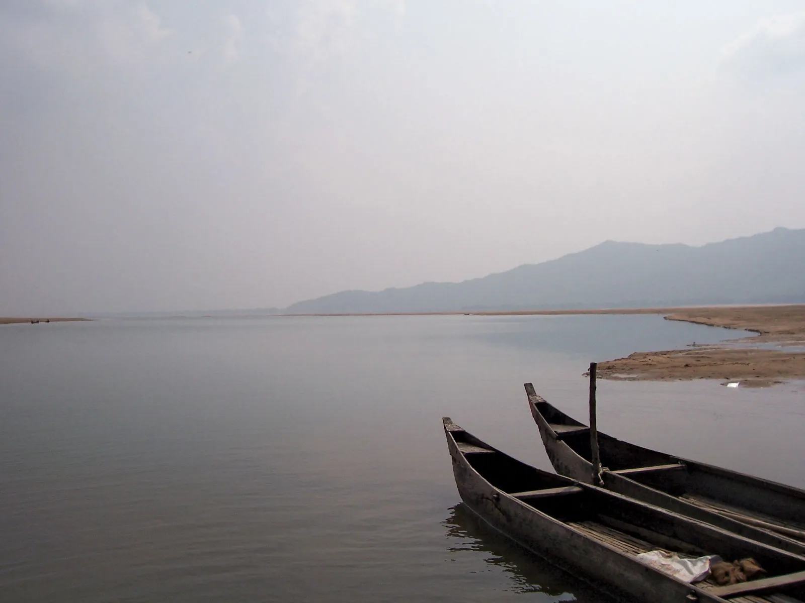
- Mouth: It joins the Bay of Bengal at False Point through multiple channels near the seaport of Paradip.
- Basin Extent: The basin covers 1,41,589 sq. km (roughly 4.3% of India’s geographical area). While primarily spanning Chhattisgarh and Odisha, it also drains small portions of Jharkhand, Maharashtra, and Madhya Pradesh.
- Boundaries:
- North: Central India hills.
- South & East: Eastern Ghats.
- West: Maikal hill range.
2. Tributaries and Distributaries
The Mahanadi’s vast network is supported by several key tributaries, categorized by their entry point into the main stream:
| Side | Key Tributaries |
| Left Bank | Seonath (Longest tributary), Hasdeo, Mand, Ib |
| Right Bank | Jonk, Ong, Tel |
As the river nears the coast, it forms a massive delta at Cuttack and splits into several distributaries, including the Daya, Bhargabi, Kathjori, and Birupa.
3. Major Infrastructure: The Hirakud Dam
One of the most significant engineering marvels on the river is the Hirakud Dam, located 15 km from Sambalpur, Odisha.
- World Record: It is recognized as the longest earthen dam in the world, stretching over 8 km (including dykes).
- Multipurpose Role: Built after India’s independence, it serves three primary functions: flood control in the Mahanadi delta, irrigation for lakhs of hectares, and hydroelectric power generation (installed capacity of ~347.5 MW).
- Ramsar Status: The Hirakud Reservoir was designated a Ramsar site (Wetland of International Importance) in October 2021.
- Ecological Impact: Chilika Lake
The Mahanadi River system is the primary freshwater lifeline for Chilika Lake, Asia’s largest brackish water lagoon and a UNESCO World Heritage site.
- Freshwater Influx: Approximately 61% of the inland freshwater flow into Chilika comes from the Mahanadi system, mainly through its distributaries—the Daya and Bhargabi.
- Ecological Balance: This freshwater influx is vital for maintaining the salinity gradient of the lagoon, which supports diverse biodiversity, including the endangered Irrawaddy dolphins and millions of migratory birds.
5. Ten FAQs on the Mahanadi River
Where does the Mahanadi River originate?
The river originates from the Sihawa range of hills in the Dhamtari district of Chhattisgarh.
What is the total length of the Mahanadi?
The total length of the river from its origin to its confluence with the Bay of Bengal is approximately 851–860 km.
Which state has the largest share of the Mahanadi basin?
Chhattisgarh holds the largest portion (approx. 52-53%) of the basin’s catchment area.
Which is the longest tributary of the Mahanadi?
The Seonath River is the longest tributary, contributing nearly 25% of the total basin area.
Where is the world’s longest earthen dam located?
The Hirakud Dam is located on the Mahanadi River near Sambalpur in Odisha.
What are the primary purposes of the Hirakud Dam?
The dam is used for irrigation, generating hydroelectricity, and controlling floods in the delta region.
Which major cities are situated on the banks of the Mahanadi?
Major urban centers like Raipur (near), Sambalpur, and Cuttack are located along the river.
How is Chilika Lake related to the Mahanadi River?
Chilika receives 61% of its freshwater from the Mahanadi system, primarily via the Daya and Bhargabi rivers.
What is the current status of the Mahanadi water dispute?
In early 2026, Odisha and Chhattisgarh expressed a commitment to resolve the dispute amicably through mutual dialogue.
Where does the Mahanadi River empty into the sea?
It joins the Bay of Bengal at False Point, located near the major seaport of Paradip in Odisha.