Why in the News?
- The Census 2027 will be India’s first fully digital Census and will include geotagging of all buildings, a first in India’s history.
- Geotagging will be carried out during the Houselisting Operations (HLO) phase scheduled from April to September 2026.
- The exercise aims to improve accuracy in housing and household enumeration and streamline Census operations.
Key Highlights
- Introduction to Geotagging and GIS
- Geotagging involves marking the latitude and longitude coordinates of buildings on a Geographic Information System (GIS)
- GIS is a computer-based system that captures, stores, checks, and displays spatial data linked to specific locations.
- Latitude lines measure north-south distance from the equator, and longitude lines measure east-west distance from the prime meridian.
- Each building will have a unique locational identity for precise identification.
- Significance for Census 2027
- This Census will be digital-first, with self-enumeration options for citizens.
- Individual castes will be counted for the first time since 1931.
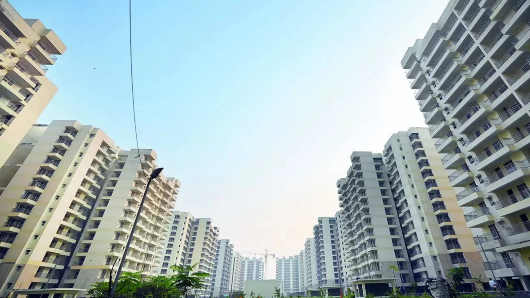
- Geotagging ensures accurate mapping of residential and non-residential buildings, which was not possible in earlier manual sketches.
- Census Basics and Housing Data
- Census collects demographic, socio-economic, and cultural data along with house counts at village, town, and ward levels.
- Census 2011 recorded 84 million houses, including 306.16 million occupied and 24.67 million vacant.
- Rural areas had 7 million houses, urban areas 110.14 million.
- The definition of a Census House includes separate entrances or recognized separate units, irrespective of occupation status.
- Houselisting Operations (HLO) and Geotagging Process
- HLO is the first phase of the Census; Population Enumeration (PE) is the second phase.
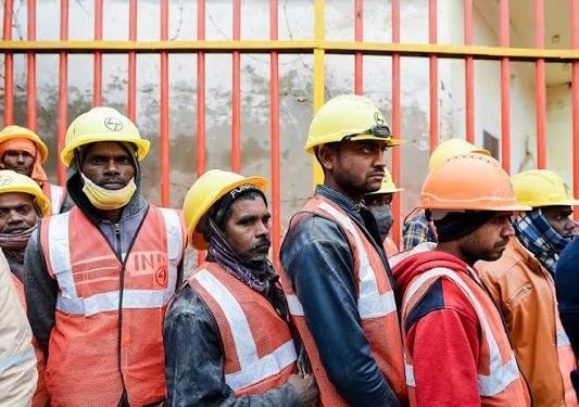
- Enumerators will visit Houselisting Blocks (HLBs), turn on their smartphone location, and geotag each building using Digital Layout Mapping (DLM).
- Data will include the number of Census Houses, households, and building type (residential, non-residential, partly residential, landmark).
- HLBs are well-defined areas demarcated on the ground with a notional map for Census operations.
- Benefits of Geotagging
- Ensures accurate count of houses and households, avoiding under- or over-counting.
- Improves workload management for enumerators by providing clear building locations.
- Enhances planning for future urban and rural infrastructure
- Builds on smaller-scale geotagging exercises, such as for Pradhan Mantri Awaas Yojana houses.
Implications for India
- Administrative Efficiency
- Accurate geotagging will reduce enumeration errors.
- Facilitates better resource allocation and field monitoring.
- Enables real-time tracking of Census progress using digital maps.
- Urban and Rural Planning
- Data can guide housing and infrastructure policies.
- Identification of densely populated areas allows targeted public services.
- Supports disaster management and emergency planning by mapping settlements.
- Digital Transformation
- Paves the way for future digital governance
- Supports integration with other government databases for asset tracking, welfare schemes, and urban management.
- Socio-Economic Research
- Precise mapping of households helps in research on living conditions, migration, and demographic trends.
- Supports evidence-based policy making for health, education, and social welfare.
- Transparency and Accountability
- Reduces manual errors and ensures credible Census data.
- Enables citizens to verify their households during self-enumeration.
- Facilitates better monitoring of government programs linked to housing and population data.
Challenges and Way Forward
| Challenge | Way Forward |
| Digital literacy gap among enumerators | Training programs and mock exercises on DLM and geotagging |
| Smartphone and network issues in remote areas | Provide devices or offline apps with later syncing |
| Accuracy of geotagging in high- rise or densely packed areas | Use satellite imagery and cross-verification methods |
| Privacy concerns for households | Secure digital storage and clear data usage policies |
| Large-scale coordination of 34+ lakh enumerators | Real-time dashboards and supervisory layers for monitoring |
Conclusion
The geotagging of buildings in Census 2027 represents a historic step toward a fully digital, accurate, and transparent Census in India. It will enable precise population and housing data, assist in planning and governance, and lay the foundation for smart urban and rural development. While challenges exist, proper planning and technology integration can ensure success.
| Ensure IAS Mains Question
Q. Discuss the significance of geotagging buildings in the Census 2027. How can this exercise contribute to administrative efficiency, urban planning, and policy-making in India? (250 words) |
| Ensure IAS Prelims Question
Q. With reference to Census 2027 in India, consider the following statements: 1. Geotagging of buildings will provide each building with a precise latitude-longitude location for accurate enumeration. 2. Houselisting Operations (HLO) is the second phase of the Census, focusing on demographic data collection of individuals. Which of the statements given above is/are correct? a) 1 only b) 2 only c) Both 1 and 2 d) Neither 1 nor 2 Answer: a) 1 only Explanation: Statement 1 is correct: Geotagging involves marking the latitude and longitude coordinates of each building on a Geographic Information System (GIS) platform. This ensures that every building has a unique, precise location, reducing enumeration errors and improving accuracy in the count of houses and households. Statement 2 is incorrect: Houselisting Operations (HLO) is the first phase of the Census, not the second. During HLO, enumerators visit buildings, list households, and geotag structures. The second phase, called Population Enumeration (PE), collects demographic, socio-economic, and cultural information of individuals. |
|
Also Read |
|
| UPSC Foundation Course | UPSC Daily Current Affairs |
| UPSC Monthly Magazine | CSAT Foundation Course |
| Free MCQs for UPSC Prelims | UPSC Test Series |
| ENSURE IAS NOTES | Our Booklist |