Context
Amid increasing strategic rivalry in the Indian Ocean Region, Agalega Islands have emerged as an important geopolitical and maritime location.
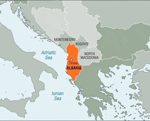
About Agalega Islands
- Agalega Islands are located in the western Indian Ocean and are administered as a dependency of Mauritius.
- The archipelago is strategically positioned along important sea lanes and lies around 3,400 km southwest of India’s southern tip.
- It consists of two coral islands — the inhabited North Island and the smaller South Island.
- India, under a bilateral agreement with Mauritius, has developed major infrastructure on the islands, including a 3,000-metre airstrip and a deep-sea jetty.
- These developments are enhancing India’s logistical reach and maritime surveillance capabilities across the southern and western Indian Ocean Region.
- Strategically, the islands act as a link between India’s western maritime command, the African coastline and the Andaman and Nicobar Islands in the eastern Indian Ocean.
- Geographically, the islands are situated nearly 1,000 km north of Mauritius and together cover an area of about 70 sq. km.
- The islands stretch for almost 24 km in length and remain relatively narrow, with a maximum width of around 3.25 km.
- During low tide, a natural sandbank connects the two islands, making it possible to cross between them on foot.
- The islands are home to a small native population of nearly 300 people.
- Coconut cultivation forms the backbone of the local economy, with coconut oil exports serving as the primary source of livelihood.
- The islands are also known for their unique biodiversity, particularly the Agalega day gecko.