Context
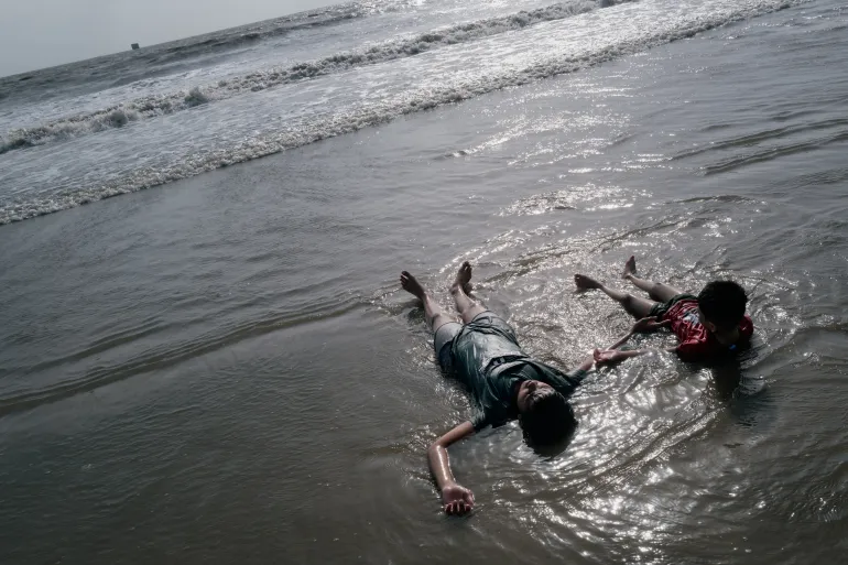
A powerful magnitude 7.6 earthquake recently struck near Tonga, drawing attention to its geographical location and vulnerability to seismic activity.
Q1. Where is Tonga located and what is its basic geography?
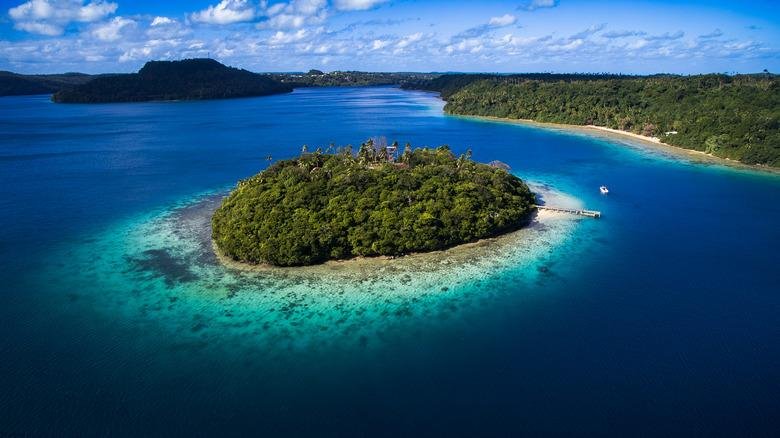
- Tonga is a sovereign island country in Polynesia (South Pacific Ocean).
- It consists of 169 islands forming an archipelago.
- Neighbouring regions: Fiji (West), Samoa (North) and Cook Islands (East).
Q2. How are the islands of Tonga divided?
- The islands are grouped into three main parts:
- Tongatapu (South) → Largest and most important island
- Haʻapai (Central group)
- Vavaʻu (North)
- These divisions help in administration and geography.
Q3. What is the nature of its islands (volcanic vs coral)?
- Western islands: Formed by volcanic activity
- Eastern islands: Made of coral limestone and sand
- This mix makes Tonga geologically unique and seismically active.
Q4. What are the key geographical features of Tonga?
- Terrain: Mostly flat islands composed of limestone and coral formations.
- Geological structure:
-
- Some islands → uplifted coral
- Others → limestone over volcanic rock
-
- Highest point: Kao Island (in Haʻapai group)
Q5. What is the capital of Tonga?
- Capital city: Nukuʻalofa
- Located on: Tongatapu Island (northern coast)
Q6. What are Tonga’s global environmental commitments?
- Member of:
- Commonwealth Clean Ocean Alliance
- Marine Protected Areas Action Group
- Shows focus on ocean conservation and marine protection.
Conclusion
Tonga is a geographically diverse island nation with both volcanic and coral formations, making it prone to earthquakes and natural hazards, while also playing an active role in global ocean conservation efforts.